In my other life, I am the president of the Honeywell 4 wheelers. We have been the adopting club of the Sunflower Mine trail for over 30 years. That means every 3 months, you run the trail, trimming brush, picking up trash and repairing washouts. We all love that trail so much..... There are old mines and a big stamp mill up there. Jerry and I had our first camping trip up there. Well, today we lost it. I am just heartbroken. We just ran it on the 21st! I am so bummed.......
Sunflower Fire
- Thread starter Ladyjeeper
- Start date
JGattheSea
PIF Puerto Peñasco
lost how?
The fires.......
lagrimas85
AKA Carnac
LJ, my grandparents had a ranch and small orchard in the middle of the huge Hughes Cattle Co. ranch in Sunflower, we used to go in on the road that goes to the Bushnell Tanks, they had all kinds of apples and peaches, that were watered with spring water there was also a whiskey still on the property and where the spring ran out of the mountain, there were blackberries everywhere. They changed the highway to Payson at Sunflower, but they built a new turnoff back to the ranch and they have a sign now, that say's Whiskey Springs. Man that was some rough country, my grandparents wouldn't let me go out alone on the horses, but I could ride the burro's or mules to the old store/bar in Sunflower. Thats also where I learned to hunt. The last time I was four wheeling around sunflower, we took the trail, that starts on the Bushnell Tank road and goes over a part of Mount Ord and winds up in Punkin Center. Makes me want to go out and blast a cottontail, skin him, and fry him in the old dutch oven over the campfire.
Last edited:
That's Reno Pass. The forest service closed it 8 years ago because some idiot woman killed herself driving off the narrows.....Her family sued......
lagrimas85
AKA Carnac
I couldn't drive it again anyway, I am too afraid of heights now, god that was a rough trail.That's Reno Pass. The forest service closed it 8 years ago because some idiot woman killed herself driving off the narrows.....Her family sued......
El Gato
Guest
In the 40's and early 50's we used to go up to Payson every summer and always stopped (coming and going) at a little cafe at Sunflower. In those days the roads were really bad and the trip took a long time from downtown Phoenix area - and cars tended to heat up a lot. Always had a water bag hanging on the front of the car - never left Phoenix without it.
Yeah, it was rough. The narrows always scared me to death....
I remember the old road to Payson......
lagrimas85
AKA Carnac
I remember driving parts of the old dirt road to payson, due to a couple rock slides on the Beeline Highway. I learned to drive a stick shift jeep when I was about 8 years old around sycamore creek.I remember the old road to Payson......
I love Sycamore Creek! Go out there and play all the time!
surfcaster
Tom the Surfcaster
My first solo highway drive at 15 and a half was from Heber to Phoenix on the Beeline. I am smelling and seeing the Sunflower smoke now here in N. Phoenix and it is always sad when some of our lovely nature goes up in flames.
Well, I just got word from a friend who drove up there and talked with the forest service and the fire fighters that the whole trail is burnt. They are not fighting the fire since there are no houses in there. They are just going to ring it and let it burn out. I could just lay down on the floor and bawl......
Yeah, it's at mile marker 225, you go left down the hill at Sycamore and the right turn to Sunflower. There was an old stamp mill in there....It's burned up now......So heavy hearted......
Kenny
Guest
My folks thought our old Green Pontiac station wagon was a Jeep, and we traveled most of those roads in it, and then some. You have to admit the hood ornament was made for carrying those old burlap water bags. One of my favorites was the old Apache Trail back in 56-57. That and the back way out of Bartlet, above Horseshoe.
That's trail 42, telegraph trail, Kenny. It burned in the Cave Creek fire. It is still closed......
Kenny
Guest
It could be if it comes out up on 17, and cross's the Verde above Horseshoe. I know there was more than a few times on that little adventure my folks were just maybe a bit worried, especially after the sun went down. As some of you know the back roads that we used to be able to travel with some trouble, but doable with a stout vehicle, are now only passable with a good off road machine, and a big part of the deterioration of those trails are due to improper use...Mark D. Stephens website: trail 42 near bartlett lake and carefree arizona. Jeeps and land rover discoveryThat's trail 42, telegraph trail, Kenny. It burned in the Cave Creek fire. It is still closed......
I know, relax..LOL
Oh that's 269. go up theu 7 Springs and turn right, you go to Sheep bridge and come out at Horseshoe, turn left and you come out on 1-17 at the Bloody Basin exit.
Kenny
Guest
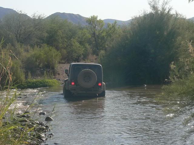
Yep, I still fish the lower Verde below horseshoe and cross the Verde below the dam, but haven't been above the dam to sheep's crossing in some time...... This guy starts at the top, we actually started our trip from Bartlett.http://www.bridgemeister.com/pic.php?pid=1937Oh that's 269. go up theu 7 Springs and turn right, you go to Sheep bridge and come out at Horseshoe, turn left and you come out on 1-17 at the Bloody Basin exit.
This is a picture of exactly where I cross on the lower Verde, but since I come in from below, my first cross is from the other side..http://www.myjeeprocks.com/forums/showthread.php/9018-Sheep-s-Bridge-Tonto-National-Forest-AZ.